AntWatch Database Driven Mapping System

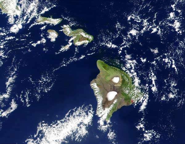
A crucial component of AntWatch Hawai`i is to accurately record the location of student ant observations or collections. To do this, we use maps. Maps are excellent visual tools to analyze spatial or geographic data, such as the distribution of introduced ants in the Hawaiian Islands Thus far, we have compiled and mapped over 250 student collections on the Big Island of Hawai`i. This gives us an excellent visual appraisal of locations where we have searched for newly introduced ant species, and where we have found newly introduced species. In this section, you can view these maps and data from other student collections. Once your school or class is a registered participant of AntWatch Hawai`i, you can submit your valuable observations and geographical coordinates to the database. If you need a refresher course on mapping and geography, please visit our curriculum section. From there you can also find some useful links to more information. The Hawaiian Islands from satellite
|
|
overview | biology | identification | curricula | mapping | participate | links | site map | home Mapping Intro | Enter Your Data | See Recent Maps and Data | GPS links Website Production by Blu Forman |