In a significant development for climate research and management, the Hawaiʻi Climate Data Portal (HCDP) is set to expand its reach to additional Pacific islands, and provide more data to help decisionmakers. Launched in 2022, the free online portal developed by researchers from the University of Hawaiʻi and the East-West Center is expected to catalyze new research initiatives and inform policy decisions to mitigate climate risks and safeguard natural and human systems.

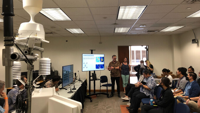
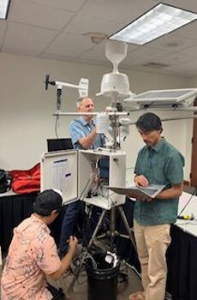
A major enhancement to the HCDP is the integration of data from the Hawaiʻi Mesonet, which plans to establish 100 new climate stations across the state over the next two years. Similar efforts are underway in American Samoa, and funding is being sought for a mesonet in Guam.
“The Hawaiʻi Mesonet is filling critical gaps in our understanding of climate in Hawaiʻi. Improving monitoring across the Pacific is a goal we are working towards, one station at a time,” said Tom Giambelluca, UH Water Resource Research Center director.
The HCDP‘s recent inclusion in the Bulletin of the American Meteorological Society underscores its importance in streamlining access to climate information. The HCDP team plans to leverage decades of work developing the portal and expand its utility and function to serve other regions in the Pacific.
User friendly, comprehensive datasets

The user-friendly interface and comprehensive datasets make the HCDP an invaluable resource for improving awareness and facilitating collaboration across sectors. Recent updates feature new gridded surfaces, such as seasonal land cover and daily rainfall and humidity maps.
“Accessing high-quality climate data for Hawaiʻi has never been easier,” said Ryan Longman, East-West Center Oceania researcher. “This means greater opportunities for research, community outreach, and developing decision support tools to aid resource managers.”
Federal agencies increasingly leverage HCDP data for various applications:
- The U.S. Department of Agriculture Risk Management Agency uses the data for an insurance product for ranchers in Hawaiʻi.
- The National Oceanic and Atmospheric Administration produces a monthly state-of-climate report.
- The U.S. Geological Survey develops models to track avian malaria using HCDP‘s gridded products.
Since its launch on March 3, 2022, more than 45,000 unique users have accessed more than 20 million HCDP files. Upcoming developments include mapping hourly wind speed and solar radiation and creating tools for wildfire risk assessment and drought forecasting.

