
Geographers at the University of Hawaiʻi at Hilo recently completed a pilot project with the County of Hawaiʻi Department of Planning to help modernize the county’s public access program. Shoreline public access locations and associated permitting documents were digitized in a pilot geospatial database by UH Hilo geographical data experts and UH Hilo department of geography and environmental science students and recent graduates.
The collaborative project focused on the South Kona district but includes a feasibility analysis for extending the project to an island-wide scale.

Ryan Perroy, an associate professor of geography who founded the UH Hilo Spatial Data Analysis and Visualization research laboratory, said the work features a partnership between UH Hilo and the county on a project that benefits the local community and gives university students experience in the real world.
“This project highlights the ability of UH Hilo to contribute to local governance by using our expertise in geospatial technology to improve an existing antiquated system for accessing information,” said Perroy. “In this case, files and permits associated with public access issues.”
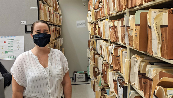
The pilot project’s purpose was to digitize paper files and link them to an interactive map interface, so that county planners can simply click on a few lines on a map on screen and access relevant files instead of having to physically pull and pore over physical paper documents.
“So this means some major time savings that will allow them to better and more quickly serve the public when there are queries about public access,” Perroy explained.
Public access project
The project will help the county fulfill its mandate to give the general public access to specific areas for activities related to valued cultural and natural resources. An updated and more comprehensive public access inventory management system will better enable the Department of Planning to execute its public access mandates in the areas of planning, permit vetting, implementation and enforcement. This is especially important for the issuance of land-use permits for developments such as subdivisions and certain developments within the Special Management Area.
Perroy is principal investigator with a team of geospatial research specialists; UH Hilo alumni Shawna Blackford and Eszter Collier from the lab are critical contributors. This first phase was done in coordination with two county land-use planners, Kamuela Plunkett and Rob Leasure. Plunkett earned his master of arts in heritage management in 2018 from UH Hilo.
For more go to UH Hilo Stories.
—Story by Susan Enright
