A partner project of the Hawai‘i Climate Data Portal

American Samoa Climate Data Portal
The American Samoa Climate Data Portal’s goal is to assist climate adaptation and natural resource managers in American Samoa by providing access to new and existing web-based tools that provide open access to GIS and climate-related data. These tools can enable managers and community members to collect, download, and view relevant data, facilitating a wide range of adaptation and management activities.
Geospatial Portal
Environmental Data Portal
Real-Time Monitoring Data Portal


Explore American Samoa’s geospatial data including shapefiles and rasters of biological, geological, political, and climate related data
Publications, tabular data, and climate related resources for American Samoa
Real time weather station and stream gauge data for American Samoa
Top Climate Datasets
The ASCDP provides a list of top climate datasets for American Samoa
Coral Reef Advisory Group (CRAG) Library
Access literature on coral reefs in American Samoa through the CRAG Library on the ASCDP


Other American Samoa Data Tools

The Coastal Resilience Evaluation & Siting Tool is an interactive display of the Regional Coastal Resilience Assessments

This NOAA Sea Level Rise viewer provides a preliminary look at sea level rise and coastal flooding impacts

The PacIOOS American Samoa Coral Reef Drivers tool reveals how environmental and human factors shape coral reef spatial patterns

SONEL provides high-quality continuous measurements of sea- and land levels at the coast from tide gauges

The U.S. Drought Monitor (USDM) releases weekly drought maps for the U.S. and its territories

The NOAA Coral Reef Watch daily global 5km satellite Bleaching Alert Area outlines where coral bleaching heat stress reaches certain levels

The GML Data Finder provides data files available from the public ftp file archive of the ESRL Global Monitoring Laboratory

The PacIOOS American Samoa Sea Level Rise Viewer tool provides a scientific prediction of potential future conditions from flooding due to sea level rise

The Integrated Resource Management Applications (IRMA) Portal provides easy access to National Park Service applications

PacIIOS has a list of climate related tools for American Samoa

The WACOP wave atlas lets you explore many aspects of the wave climate in Samoa.

The (PDKE) seeks to facilitate drought knowledge exchange among drought stakeholders in Hawai‘i and in Pacific Island Nations.

The National Coral Reef Monitoring Program data visualization tool allows you to see data collection info, visualize status and trends, and download data

The USGS Hazard Exposure and Reporting Analytics site (HERA) provides tools and data to help communities as they plan and prepare for climate-related, natural hazards

The University of Hawaii Sea Level Center provides a station explorer to view tide gauge data
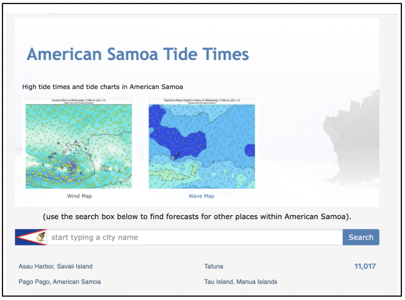
High tide times and tide charts in American Samoa

The American Samoa Data Project provides information on American Samoa coral reef monitoring programs, data collection methods, and site-specific location data.
The American Samoa Climate Data Portal is under development. If you would like to contribute any feedback, please fill out this google form: https://forms.gle/Puh1YKGYRa5RD5Gb9